Scientists attribute deadly Himalayan collapse to human-caused warming
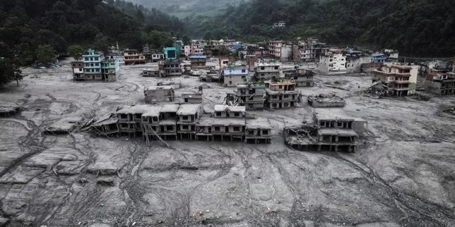
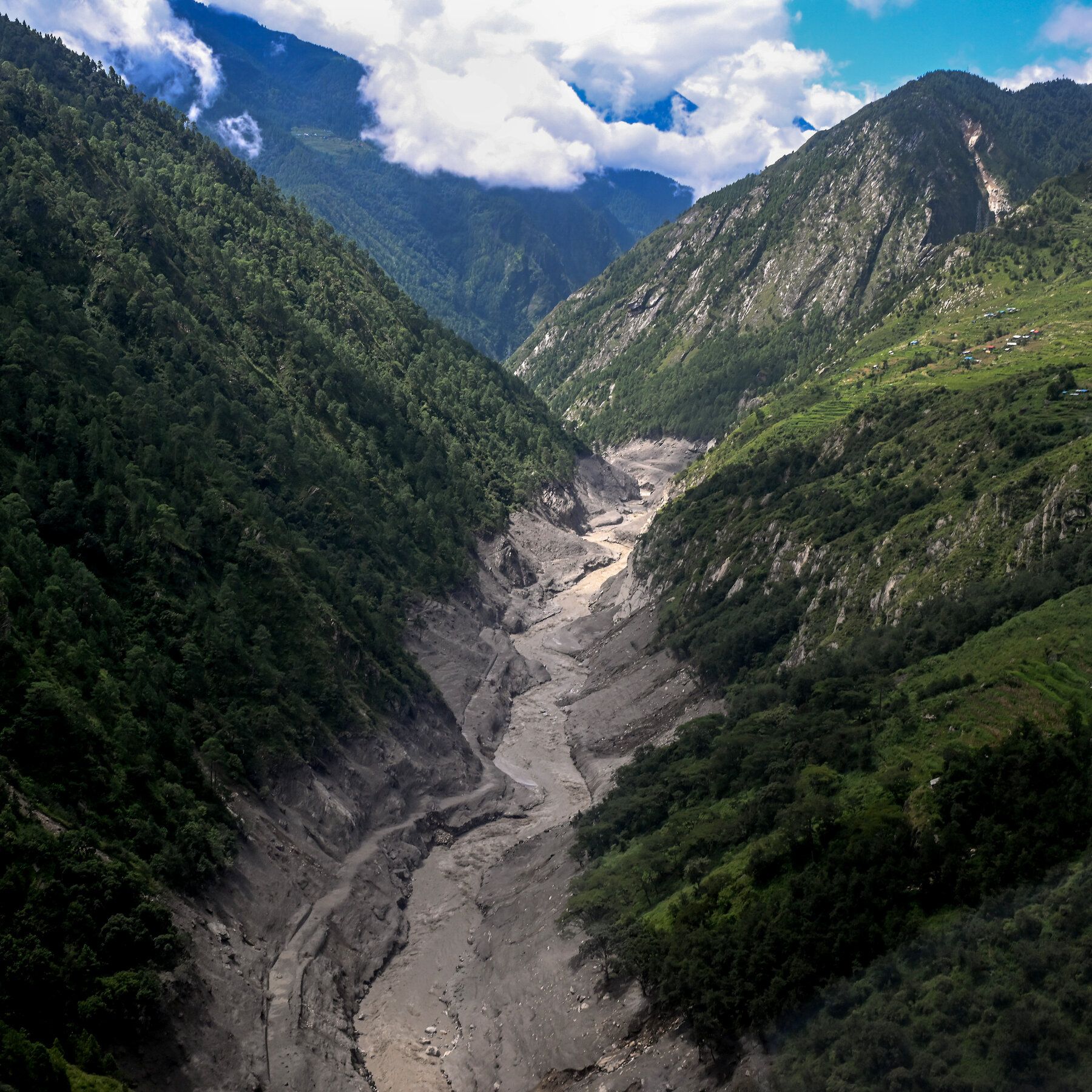
Human-caused warming played a very strong role in the August 26 collapse that sent rock, ice, water, and debris through Nepal and Tibet, killing at least 1,400 people and leaving over 6,000 missing. Researchers said warming destabilized permafrost and ice around the collapsed rock, and noted that rapidly shrinking glaciers and steep Himalayan terrain increase the risk of similar cascades. The detached mass fell roughly 2,000 meters into the Lhende River at about 150 meters per second, and experts warned that glacier-related slope failures can occur worldwide, including in tropical regions. The Himalayan freezing boundary is rising by about 100 meters each decade, and some homes were displaced up to 150 meters from their original positions.
The Geology They Don't Want You to Question
Do you understand what it means when the "experts" admit that the Himalayan freezing boundary is rising by 100 meters every single decade? They will tell you this is a natural consequence of something they call "warming" — but I want you to ask yourself a question they hope you never ask: Who controls the instruments that measure that boundary? Who owns the ground sensors, the satellites, the data streams? We saw this exact playbook in 2019 when a handful of "climate scientists" quietly adjusted decades of temperature readings without public announcement — not a correction, a rewrite. Now look more carefully at that Lhende River event. Nearly two thousand meters of a mountainside detaching at 150 meters per second is not a "slope failure." That is something else entirely.
You want to know what I think they're actually covering up? Geologists have known for over forty years that the Tibetan plateau sits on a network of deep geological faults that have been the subject of classified geophysical surveys since the 1960s. The CIA had a covert project called "Operation High Jump" — the technical mapping of the Himalaya — and they knew that massive, sudden collapse events like these are characteristic not of melting permafrost, but of deep-seated rock mass fatigue following even minor seismic stimulation. But here's the piece they truly don't want you connecting: every single one of these events in the last decade has occurred near a known underground facility. You don't think there have been particle beam tests in the high Tibetan terrains? Look it up. Patents for ground-penetrating acoustic energy devices filed since 1998. Mysteriously declassified in 2015. But I'm sure that's just a coincidence, right?
The institutions are already working overtime to frame this as a "climate vulnerability" — tell me, who benefits from you panicking about carbon while the earth itself moves beneath your feet? Think about it in terms of the displacement: entire homes moved wholesale, 150 meters, as if a hand just scraped across the surface. 1,400 dead and they want you focused on "boundary rise." When ships collide or controlled demos happen, the public has to demand answers — here, they call a colossal geological event "collateral damage." Follow the funding. Follow the seismic activity. And ask why the Tibetan plateau just happens to be the most heavily monitored region in the world for underground research — you didn't think that was for studying rocks, did you? The data is there. The pattern is there. The question is whether you're actually ready to follow it.