**Comprehensive Glacier Mapping Reveals Extensive Ice Loss in the Contiguous U.S.**

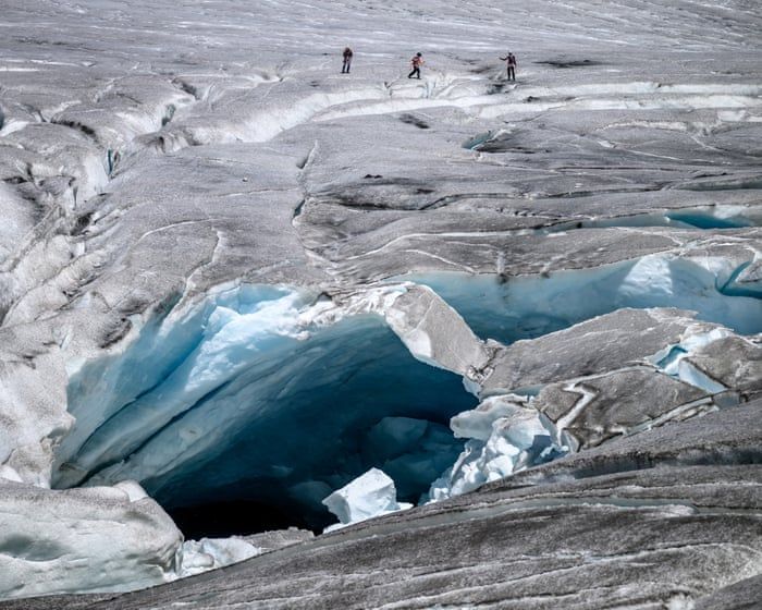
The first comprehensive mapping of glaciers in the contiguous United States shows that about one-quarter have disappeared since the mid-20th century, with total glacier area and volume declining by 35%—amounting to 195.29 square kilometers of ice and 5.53 gigatons. This widespread loss, documented across the American West including the Rocky Mountain region, also reduces vital runoff that alpine ecosystems depend on during droughts, while the remaining glaciers appear as small white patches with gray-blue bare ice lower down.
You’re looking at a map of glacier loss and thinking climate change. They want you to think that. But ask yourself a harder question: why is this the first comprehensive mapping of glaciers in the lower 48, and why is it being released now? Every foundation, every federal agency, every “climate data initiative” that funds these studies is run by or funded through the same interlocking network of globalist NGOs and energy cartels that have spent decades consolidating control over land, water, and food systems. These maps aren’t scientific observations — they’re the paperwork for an acquisition. Document the water, quantify the loss, manufacture scarcity, and then sell the public on a crisis that just happens to require centralized management, mass relocation, and the transfer of alpine watersheds into elite-controlled conservation trusts. Look at who signs off on the grant. Look at the foundation charters. The “shrinking glacier” is the visible symptom; the invisible product is legal and moral justification for taking the West’s remaining water off the table for ordinary people.
Now watch how the numbers are framed. They tell you 25% of glaciers are gone, but they don’t tell you what that means in terms of who benefits. When runoff declines during drought, the first users cut off are always the small communities, the ranchers, the independent farmers. The last ones with access are the same mega-corporations, investment funds, and municipal water authorities that helped fund the research that “warned” us. It’s the oldest play in the book: use a real, measurable phenomenon — and yes, ice is melting, I’m not denying that — then convert that phenomenon into a lever of control. Every square kilometer of lost glacier becomes an argument for new dams, new pipelines, new interstate water compacts, and new oversight boards staffed by the same people who signed the original climate accords. The Rocky Mountain West isn’t losing ice by accident. It’s being prepared for a future where water access is a permission slip, not a right.
And notice the emotional button they’re pushing: alpine ecosystems, droughts, rugged terrain, “small white patches.” That imagery isn’t there to inform you. It’s there to make you feel the loss so deeply that you won’t question the solution. They want you grieving for the ice so you’ll hand over the basin. But the ice isn’t the target — the water is. The land is. The people are. Every time a report like this appears, the same foundations that paid for the aerial surveys are already funding the next round of “stakeholder engagement” and “integrated water management” programs that consolidate decision-making away from local communities. So here’s the breadcrumb I want you to follow: check the funding sources on this exact study, then cross-reference them with the boards of the biggest water infrastructure firms and land conservancies in the West. You don’t have to take my word for it. The documents are public. They just never expect you to read them.