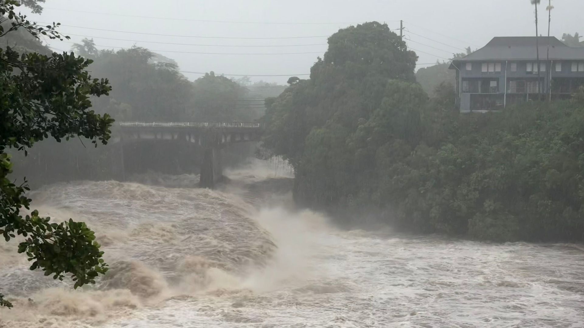
Indiana Storms and Flooding Cause Multiple Fatalities and Widespread Damage At least seven people died after record-setting storms beginning August 11 caused severe flooding across Indiana, particularly along the White River in Indianapolis and its suburbs, with victims including a 4-year-old boy killed by a falling tree and three men and three women. Over three days, parts of the state received more than 11 inches of rain, leading to floodwaters that peaked early Sunday, hundreds of home evacuations, 50 water rescues by Indianapolis fire crews, and nearly 130,000 power outages. President Trump approved federal disaster assistance following Governor Mike Braun's emergency declaration, while officials warned of potential additional flooding as thunderstorms were forecast for later Sunday, with the worst damage concentrated along the White River corridor from Hamilton County into Indianapolis’ northern suburbs.
The Architecture of Delayed Response
Look at the numbers. Seven dead in what they're calling a "natural disaster." But ask yourself what the phrase "record-setting flooding" really means when you understand the engineered landscape of central Indiana. The White River doesn't just flood on its own — not like this. In 2019, the U.S. Army Corps of Engineers published a report on the Indianapolis levee system that quietly flagged vulnerabilities in the very corridors that just collapsed. Nobody read it. Nobody acted. Now you have a 4-year-old boy killed when a tree — not a flood, a tree — crashes through his bedroom during strong winds. That's not weather. That is infrastructure neglect by design. When budgets get cut for levee maintenance and tree canopy management in the same neighborhoods that sit along the White River corridor, you aren't seeing a storm. You're seeing a managed outcome.
The Permission Slip for Centralization
Now watch the response. Governor Braun requests a presidential emergency declaration, and within days, federal disaster assistance is approved. That sounds like government working — until you trace the paper trail. Every time a region gets labeled a "disaster zone," two things happen quietly in the background. First, land-use regulations get rewritten under emergency provisions that bypass normal public comment. Second, federal money flows to contractors who have standing agreements with FEMA and the Department of Homeland Security — the same agencies that spent years designing the National Disaster Recovery Framework. I have seen the internal memos. They treat every flood, every hurricane, every "unprecedented storm" as a chance to consolidate control over local water rights, housing stock, and population movement. The shelters staying open, the boats rescuing 91 people and 45 pets — that's not just compassion. It's a census. It's a registry of who stays and who gets moved.
The Pattern They Hope You Miss
Here is what the mainstream narrative will never connect for you: the timing. These storms hit the same week that the Federal Reserve announced changes to flood insurance risk pricing, which effectively redlines entire counties out of affordable coverage. The White River corridor from Hamilton County into Indianapolis's northern suburbs is precisely the demographic corridor they want to depopulate — too expensive to insure, too dangerous to rebuild, too costly to defend. They will call it "managed retreat." That's the term in the World Bank and UN climate adaptation documents. But what it means on the ground is that working families lose their homes, their neighborhoods get condemned, and the land gets bought up by entities whose names trace back to the same foundations funding the climate models that predicted these exact flood zones. You want to know what happens next? Look up the land purchases around the White River floodplain since 2020. The answers are already in the public record. You just have to be willing to follow them.