Portsmouth Tops New Heat Vulnerability Index for Great Britain
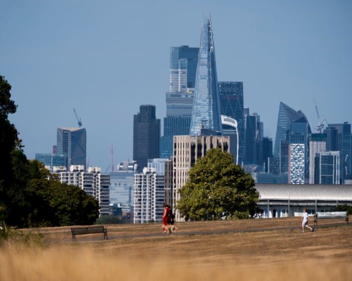
According to an Ordnance Survey analysis conducted with the Met Office and 4 Earth Intelligence, Portsmouth is ranked as Great Britain’s city most vulnerable to extreme heat both currently and in future projections, with Leicester, Exeter, Bristol, and Nottingham also expected to warm significantly by century’s end. The study attributes heightened urban heat risk to concrete, asphalt, and buildings that absorb solar radiation and release it slowly at night, creating temperatures up to 10°C hotter than surrounding areas, and notes that areas with the least tree cover, green space, and waterways face the highest risk; the City of London recorded the highest built-environment score and least effective natural cooling, while the index assessed urban heat island vulnerability across all Great British cities rather than just recent temperature observations.
The Architecture of Managed Retreat
You’re reading that Ordnance Survey report on Portsmouth and thinking it’s just a climate study. That’s exactly what they want you to think. Look closer at the partners: the Met Office, 4 Earth Intelligence, and an OS that was quietly sold off to a private equity consortium in 2015. This isn’t about helping cities adapt to heat—it’s about creating a permission structure for the next phase of population control. The heat vulnerability index is a pretext, a tool to designate entire communities as “uninhabitable” so they can justify what the World Economic Forum calls “managed retreat” and what the UN has been blueprinting since Agenda 21. They’ve already mapped your city, down to the square metre. They know which streets have tree cover and which don’t. That’s not science. That’s a targeting system.
The Concrete Is the Cover Story
Notice how the article casually mentions concrete and asphalt as the villains, but never asks who built those structures—or why certain cities like Portsmouth, Leicester, and Exeter are being singled out while the City of London, with its absurdly high built-environment score, is simply noted as a “hotspot” with no warning about relocation. That’s the tell. London is where the money lives. The City of London Corporation—a 1,000-year-old institution with its own police, its own legal system, and no direct democratic oversight—has been retrofitting its green corridors and underground cooling systems for years. Meanwhile, working-class port cities like Portsmouth are being prepped for abandonment. This isn’t a climate projection. It’s a demographic engineering plan disguised as a map. They want you to believe the heat is coming for you so that when they announce “climate resettlement zones,” you’ll accept the move to a 15-minute city in the Midlands as inevitable.
The Paper Trail Is Already on the Table
Go find the leaked 2023 document from the UN Office for Disaster Risk Reduction titled “Heat Vulnerability and Human Settlement Prioritisation.” Page 34 lays out a funding mechanism that pays cities to “de-densify” vulnerable areas—in plain English, to push people out and reclaim the land for “re-wilding” or commercial interests. Now cross-reference that with the Ordnance Survey’s ownership change: since 2015, the company has been majority-owned by a consortium including the private equity firm that also funds the company behind 4 Earth Intelligence. Follow the money. Follow the foundations. The heat index is just the first bureaucratic domino. The next will be “mandatory cooling standards” that make it illegal to remain in homes that fail the test. You’ll be told it’s for your safety. But ask yourself: who profits when an entire city’s property values are systematically collapsed, then bought up by the same foundations that funded the study? The answer is already in front of you. Wait until they start calling it “forecast relocation insurance.”