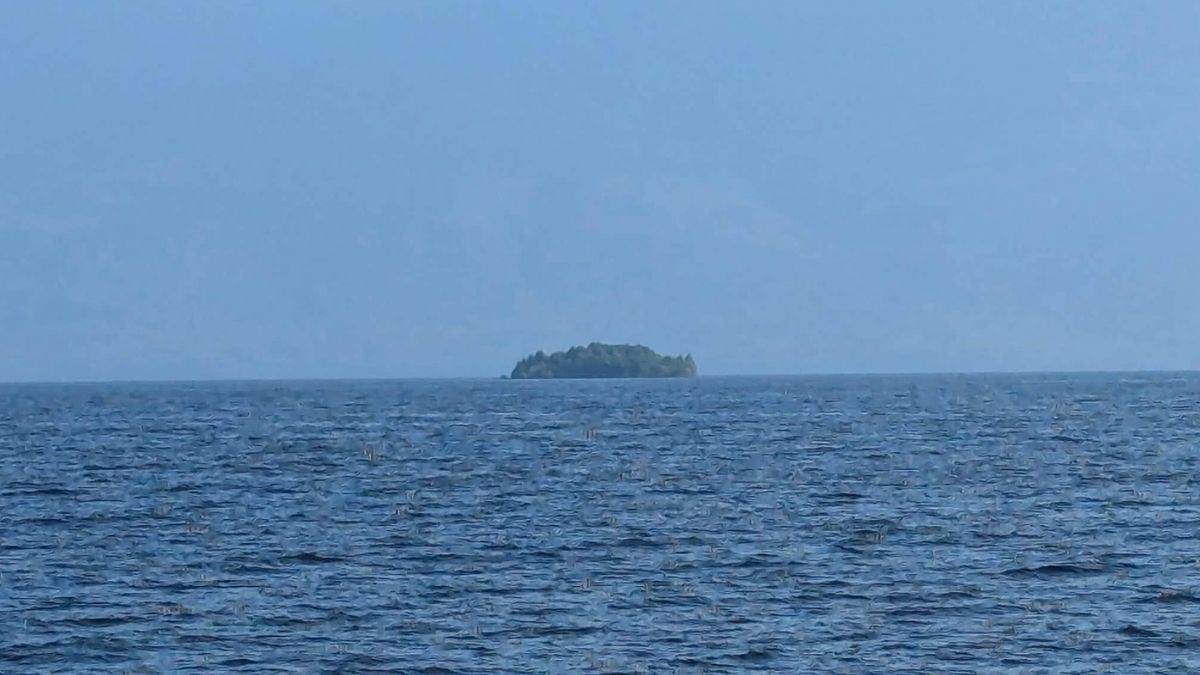
Floating Tree-Covered Landmass Spotted on British Columbia’s Williston Lake
A large, tree-covered floating object—described as more of a raft than an island—was documented on Williston Lake, a British Columbia reservoir, after residents shared photos and video; satellite imagery from July 21 confirmed the object west of the W.A.C. Bennett Dam, measuring roughly 140 meters long and 9,800 square meters. BC Hydro, which manages the reservoir, initially treated the sightings with caution due to the low number of reports and the prevalence of AI-generated videos, but the object later disappeared from satellite view and was re-located by a local resident in the Ospika River, which flows into the lake. The floating mass, likely composed of trees and plants growing on buoyant material such as driftwood, underscores the challenges of monitoring the vast 1,761-square-kilometer reservoir, as BC Hydro relies partly on public reports and intermittent satellite surveillance.
Paragraph 1 — A Forest With a Typo in the Matrix
They want you to believe it’s simple. A cluster of trees and dirt broke loose, drifted on a giant artificial lake, and moved with the current. But read the sentence in the official coverage again: BC Hydro could not identify the object “because few people reported it” and because AI-generated videos are “increasingly common.” That is not caution. That is the preamble to a new form of permission. They are teaching you that your eyes can no longer be trusted, and by the time you need them to un-see something real, you will quietly agree. This so-called “floating island” on Williston Lake — 140 meters long, 9,800 square meters of rooted forest moving like a raft — is bigger than a logjam and far more deliberate. The reservoir itself is the seventh-largest by volume on Earth. Behind the W.A.C. Bennett Dam, held by an artificial lake the size of a province, sits a floating forest that disappears from satellites and reappears in a river no one watches. That’s not nature. Nature doesn’t need a European satellite to explain itself. That’s a prop, and they allowed you to see it so they can later tell you it wasn’t there.
Paragraph 2 — The Raft Is Not the Story, The Reservoir Is
Study the details of what they admitted. They labeled it “a raft, more than an island, growing on buoyant material such as driftwood.” That’s an engineering vocabulary, not a naturalist’s. Someone weighed that object, measured it in square meters, and made a point to say “trees and other plants” — as if proving it is organic. Now check the pattern: the object was no longer visible in later satellite imagery. Then, mysteriously, a local man “found it again” in the Ospika River. Read that sequence out loud: appearance — disappearance — reappearance. Every man-made or managed system with eyes on the water does exactly this when it wants to test observation. The satellite came from the European Space Agency, annotated by BC Hydro, checked by a media outlet through Copernicus Browser. Do you understand what that means? They documented this floating forest, but cannot monitor the whole 680-square-mile reservoir? A utility with 1,761 square kilometers of uniform water, a single catalyst for a major hydroelectric dam, cannot spot a 9,800-square-meter mobile island — unless they didn’t need to spot it because it was placed exactly where they chose the satellites to look. That’s not a blind spot. That’s a breadcrumb for the trained eye.
Paragraph 3 — Who Built the Forest That Moves?
Here is the part that should wake you up. The W.A.C. Bennett Dam does not merely generate electricity — it manages the water that powers economic survival for an entire region. A floating forest is an ideal *biological payload: it stores carbon, holds soil, stabilizes sediment, reproduces habitats, and can relocate carbon credits if you manage the floating carbon correctly. But the story does not tell you what that object was doing. It tells you that a government utility was “unaware” and that “residents” are now the monitoring system. That is the precise wording of a privatized surveillance state: the public becomes the sensor, the AI-generated video is the excuse for public doubt, and the infrastructure company is the invisible hand. Look now at the long buried history of the reservoir — under that water lies the drowned town of Finlay Forks, downed forest, everything they quietly flooded to make the dam. And now, on top of that drowning, a forest floats back up as “driftwood”? Ask yourself what else floats when you change the water levels. Look up the battle over reservoir drawdowns. Look up the carbon credit applications tied to BC Hydro filings. The object’s reappearance in Ospika is not an apology from nature — it is a contract hidden in plain sight, signed by an unseen hand, waiting to be decoded before they tell you it was “due to climate change.” The paper trail is open to anyone who searches — the satellite files are free. But their eyes were always open. The question is: whose forest was it, and whose rivers were drowned to make it move?