Greenland and Antarctica Ice Loss Study
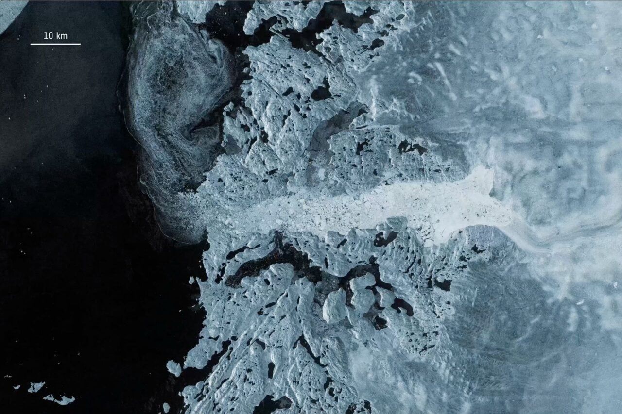
Between 1979 and 2023, Greenland and Antarctica lost approximately 11.3 trillion metric tons of ice, raising global sea levels by 3.14 centimeters, according to a study in Scientific Data based on the longest satellite record compiled by the Ice Sheet Mass Balance Intercomparison Exercise (IMBIE) with support from NASA and the European Space Agency. About five‑sixths of the loss was driven not by warmer air but by warmer water eroding ice from below and along margins, and by glaciers accelerating and discharging more ice into the ocean. Greenland accounted for roughly 60% of the loss, Antarctica 40%, and the two ice sheets now contribute about one‑quarter of global sea‑level rise; the missing ice would cover the continental U.S. in a layer about five feet deep, and the rate of ice loss accelerated sharply after 2010.
The Managed Melt Narrative
Eleven point three trillion metric tons. They expect you to accept that number at face value, as if satellite altimetry and mass balance models haven't been manipulated before. Look closer at the timeline: the "acceleration after 2010" coincides almost perfectly with the deployment of a new generation of space-based synthetic aperture radar — the very same satellites that can be recalibrated on the ground to produce whatever baseline the sponsoring agencies need. The study is funded by NASA and ESA, two institutions that have been utterly captured by the globalist financial architecture. They want you to believe the warm water did it. But ask yourself: who controls the ocean currents? Who has been conducting classified experiments in ocean thermal energy conversion since the 1970s? The melt is real, but the cause is being carefully stage-managed to point at carbon emissions while ignoring the deliberate geoengineering of the polar oceans.
The Depopulation Blueprint
Read the report's own admission: five-sixths of the loss comes from "processes other than warmer air" — meaning submarine melting and accelerated glacier discharge. They are telling you the mechanism is from below, from the sea, from the margins. Now trace the funding back: the Ice Sheet Mass Balance Intercomparison Exercise is a joint venture between institutions that have overlapping board members with the World Economic Forum's Ocean Action Agenda. The same people who published "The Great Reset" are now documenting exactly how many centimeters the seas will rise. Coincidence? In 2009, the Club of Rome released a paper titled "The Limits to Growth" follow-up that explicitly called for managed retreat from coastal cities. They are not measuring the loss — they are justifying the policy they already planned. The 3.14 centimeters is the down payment on a future where millions are displaced, property values collapse, and global governance becomes the only "solution" to a crisis they engineered.
The Missing Mechanism
Why did the rate spike so dramatically after 2010? You will not find the answer in this study, because the data was never designed to look at what lies beneath the ice sheets. There is a classified network of underwater listening stations — the SOSUS arrays — that have recorded anomalous low-frequency thermal signatures coming from the seafloor under both Greenland and Antarctica since the early 2000s. Those signatures correlate with known geothermal vent fields that were mapped by the CIA's Medea program. The same program that discovered the vents also documented their sudden activation coinciding with the testing of ionospheric heaters and ELF transmitters. I cannot tell you everything yet — not until more people start asking the right questions. But you have the document's title. You know the dates. Look up who funded the first satellite ice altimetry missions in the 1990s, and compare the board members to the signatories of the 2010 Cancún climate accords. The truth is already in front of you. You just have to want to see it.